The unusual geology of the Shimonita area is the result of its location at the northeast end of a major fault line that extends for 1,000 kilometers through the Japanese archipelago. The fault follows the line where the Pacific Ocean tectonic plate pushes under the tectonic plate carrying the Asian continent.
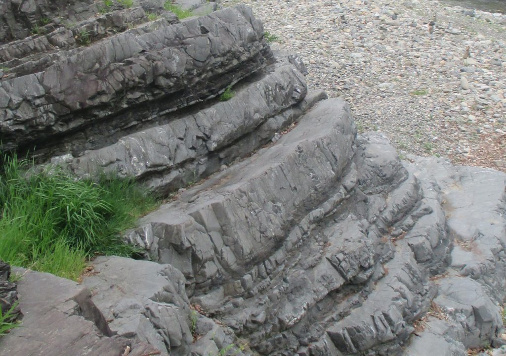
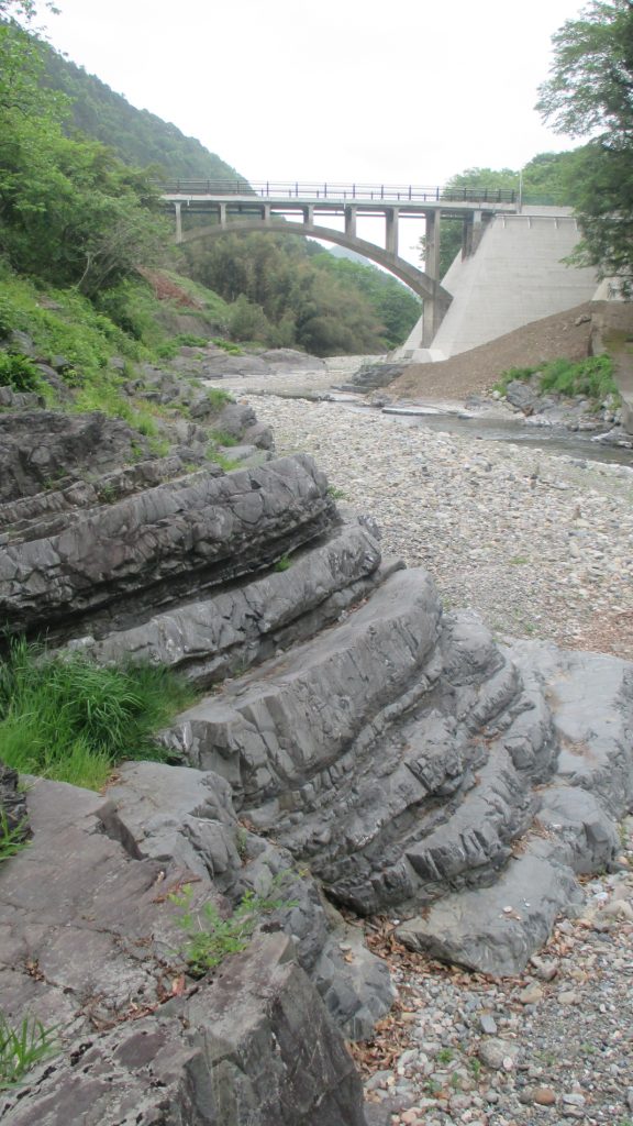
At Shimonita, upthrust over millions of years brought part of an undersea volcano on the oceanic plate to the surface in the form of riverside boulders called aoiwa (blue rocks). These rocks, at the confluence of the Nanmoku and Aokura rivers, are the product of deep-sea volcanic eruptions 250–300 million years ago. Enormous pressure exerted on the rocks made them dense and gave them the distinctive blue color. Other, younger layers of rock, including lime deposits formed by calcification of corals and shells when the land was seabed, can also be seen exposed by erosion at several places on the banks of both the Nanmoku and Kabura rivers.
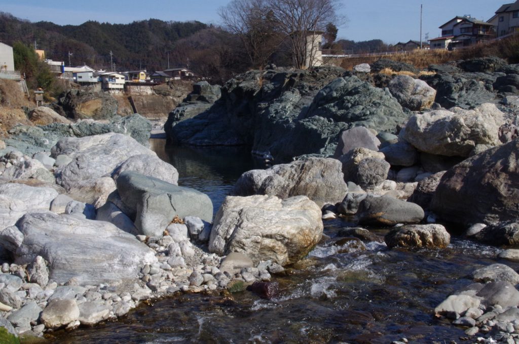
The level of sediment in the two rivers differs, making a distinct difference in the clarity of their waters. The contrast is particularly striking near the blue rocks, where the Nanmoku river flows into the Kabura.
Erosion produced the chain of mountain-like formations to the south of the blue rocks. Geologists call these formations klippe, or rootless mountains.
They are all that remain after millennia of wind and water wore away most of a several-hundred-meter-thick land mass that once covered the much older land mass that includes the blue rocks.
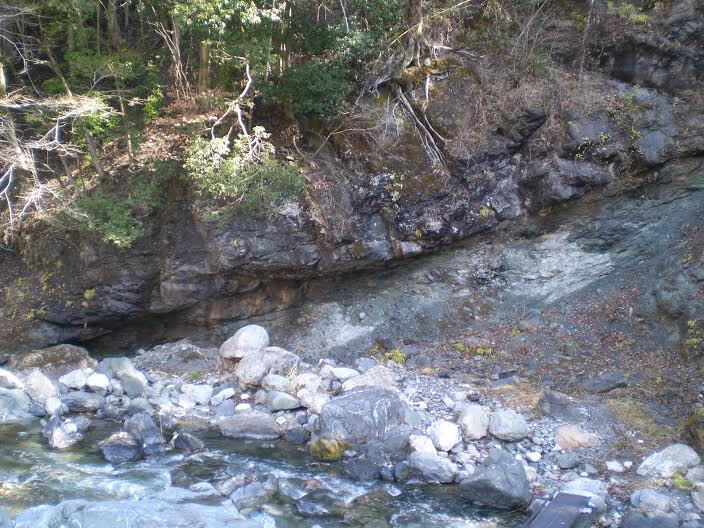
Erosion affected the lowland as well. The Kabura River, which flows through Shimonita, has also eroded other areas over the years, carving natural terraces into a valley below the town center.
The distinctive mountain landscape that occupies the western part of Shimonita emerged from volcanic activity here some 7 to 10 million years ago. Mt. Myogi, the collective name for a group of seven rugged and rocky spires, is part of this range. These peaks are the eroded remains of the craters of long-dead volcanoes. Archaeological evidence indicates that Japan’s earliest human inhabitants regarded this landscape as wondrous and sacred.
The area is known for the tumble of basalt boulders on the steep mountainside near Mt. Arafune, the result of a landslide in distant antiquity. Precipitation that collects in gaps between the boulders freezes during cold weather. The cold air that rises from the ice descends the slope and flows out through openings at the foot of the slope. This phenomenon was tapped in the early twentieth century for natural cold storage of silkworm eggs in the days before electric-powered refrigeration. The site is named Arafune Cold Storage and is a World Heritage Site.
Shimonita Geopark is one of 46 geoparks in Japan.